(older entries, separated by genre or date, are listed at the bottom of this page.)
Showing posts with label hiking the 4000 footers. Show all posts

Wednesday, May 14, 2014

4,000 footer #8: Mount Jackson

Last summer, my last 4,000 footer of the year, which was sadly only my 8th (wow do I have a long way to go), was Mount Jackson, doing the Jackson-Webster loop. 

I always love parking and being able to see exactly where I'm going. It was a beautiful day, and although late as per usual, I headed out.

that's where I'm going

The entrance to the trail was less than glamorous. 


But if I was at all confused, there was my sign.


The hike climbs pretty much right away, and then about .1 into the hike, there is a short .2 mile spur to the Elephant Head lookout point.


It's short enough that I'd say it's worth it. It does add .4 miles to the trip, but the trail isn't hard (and is kind of interesting). And the view is nice.

I was just on that road!

I thought I'd see some sort of Elephant head, but I guess I was standing on the Elephant head. There's a good picture of it here- it totally looks like an elephant's head.

I headed back to the main trail and it got steep fast.


But in another .4 miles or so, there was another extremely short spur to Bugle Cliff, which was basically the same views as Elephant head, but higher up, and therefore better.


Especially in HDR.


The trail then mellowed out a bit, and I found myself very surprised at how much of a mess it was in a lot of places. This trail is insanely popular, and I could see a lot of kids or grandmas having a lot of trouble with the amount of sharp and huge rocks.


Eventually, the trail split. I could go straight to Webster or turn left to go to Jackson first. 


I knew the views on the Webster Cliffs were going to be the best of the trip, and I wanted to end with them. So on to Jackson I went.

I also went this way because an enormous group (like 20 people) of what appeared to be volunteers headed towards Webster and I like being alone. The trail got muddy and disgusting. I saw a few people working on the trail up here. I'm blown away that these people do this.


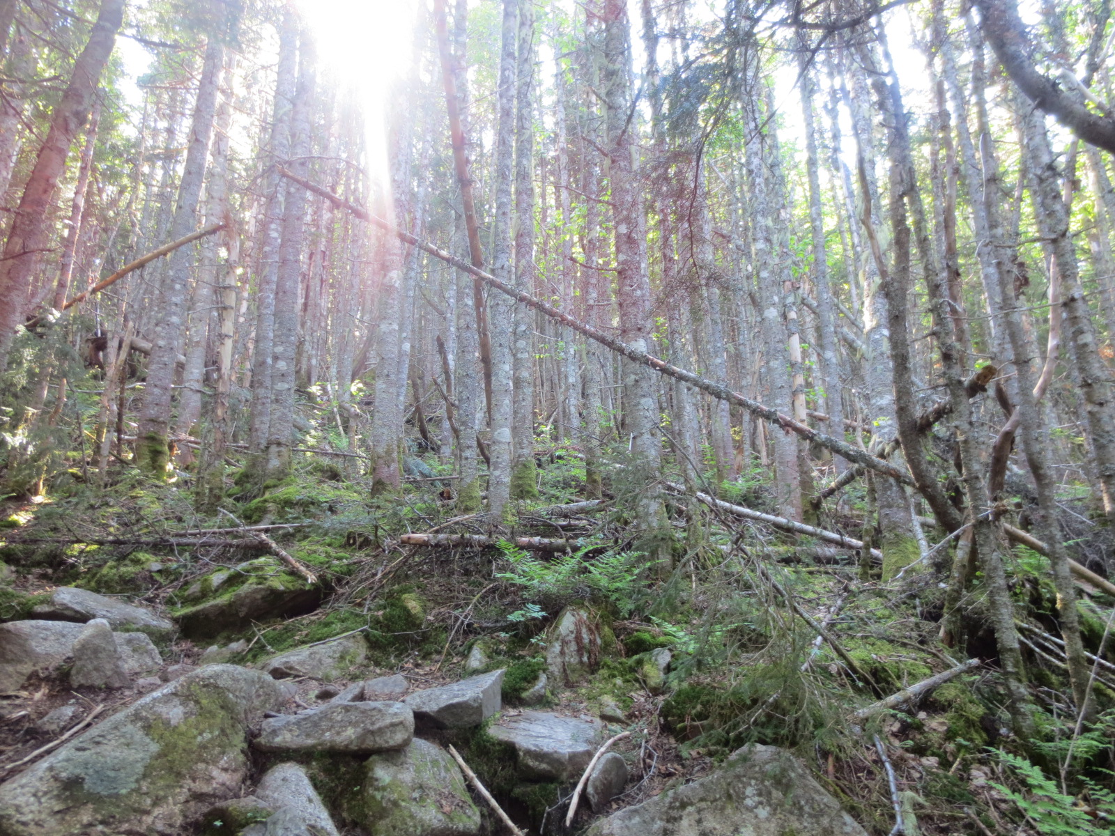
The trail eventually hit a point of pretty constant rising in fairly constant woods.


Then I saw my first preview of Jackson. I thought I was higher up.

dammit

I was surprised at how much trailwork had been done this high up.


And how helpful someone was.


Things got dry pretty quickly, and my hike turned into rock climbing for a little bit.


Then I knew I was close.


Booyah.


I did my best to get my standard homemade sign picture, but this was the best I could get out of like 10 attempts. It was just waaay too windy up there and I had nowhere good to balance my camera (I really need to get one of those bendy stands).


As usual, online hiking reports drastically undersold the views from up here.

Looking towards Willey, Willard, Tom and Field:


Looking towards the road (these people were moving faaaassst trying to get to a shelter before it was dark):


The presidentials:


I've been talking about manning up and doing a presidential traverse this year (over a few days), and I was surprised at how manageable it looked once I was 4,000 feet up. But at the same time, this picture is zoomed in. This was my actual view:

that's a loooong way

This traverse looked somehow both kind of manageable and absolutely massive and kind of terrifying, and I could only see to Washington. But then again, nobody says it's small. It is like, 20 miles of hiking after all.

This was looking in the opposite direction from Washington:


And this was directly towards Webster, where I was now heading as daylight disappeared.


Here's an HDR I like way better:


I spent too much time on top of Jackson, and knew I had to make great time to Webster, so I made the trip as fast as I could, which was unfortunately not as quick as I would have liked. There were some very steep, rocky sections:


But luckily, after the initial drop, most of the trail was flat and had boards everywhere, making it nice and fast (other than when I zoned out and walked right off the side of one into mud).


It was neat doing this section, because Appalachian Trail hikers kept coming at me, heading towards the same shelter the people I saw on top of Jackson were going to. They were moving so fast, and they STUNK. 

I got to the sign to either go back down or go to the Webster Cliffs, and headed right to the cliffs, as I had heard they rule.


And it very much ruled up there.


The drop in some spots was absolutely terrifying.

shoe for reference

I don't know why this picture is so dark on the left side:


I hung out way too long and took way too many pictures, but sunset up there was phenomenal. Here's looking sort of back towards Jackson:


Looking at the railroad tracks and Willard:


And here's a sweet panorama I put together that stupid Blogger doesn't seem to let me make any bigger:


I loved it up there- it was real scary being on ledges alone at sunset, but man, the views were great, especially being able to look at Willey, Tom and Field and know that I had stood on top of them looking at this mountain. Willard was the last mountain with views on that side to conquer.

As it started to get dark, I hiked as fast as I could, but eventually had to turn on my headlamp and flashlight and slow my pace down a little. I don't really like hiking at night, I just always end up doing it because I'm irresponsible. Usually I don't care that I'm missing the trail, but this time I kind of did, because there was a huge waterfall in one section that I literally couldn't even see. 

I checked out Bugle cliff on the way down to see how everything looked at night. Turns out, it was pretty dark. 


I got out pretty exhausted, and was psyched to have to walk down the road in complete darkness.

NOT

And that was it. #8 down. Great hike in general- the trail was very interesting most of the way up, and other than some super muddy sections, pretty manageable, at least as far as 4,000 footers go. I'm psyched to start killing them off this year. I have set a completely unreasonable goal of being half way through the 4,000 footers by the end of this summer. Woo!


________________________________________________________________________________

The short version:
Jackson is a very popular hike- not only is it the south end of the Presidentials (though not considered a presidential), but it's one of the easier 4,000 footers, and it's right in the heart of Crawford Notch- tourist central. The trail was messier than I thought it would be, but it's super easy to follow and the views from Jackson are pretty awesome. The true gold was the Webster Cliffs though, so if you're just looking for views, I wouldn't even bother with Jackson. But if you do hit it up, make sure you go to Webster too. I hope to do the Webster Cliff trail sometime, which keeps going all along the cliffs you see when you drive into Crawford Notch.
Directions:
-Take 302 west from Conway into Crawford Notch. Park at the Crawford depot, on the left right before the AMC Highland Center, and basically across from Saco Lake. Walk across the street to Saco Lake and walk down the road where you came from. The entrance to the trail is on the left.
-There are signs everywhere you need them.
-Hike time: I don't remember. Probably between 5-6 hours.
-Mileage: 6.9 miles including the spur trips (which are worth it)
-Elevation gain: about 2,500 feet
-Summit Elevation: Jackson: 4,052 feet, Webster: 3,910 feet
-Number of people seen on the hike: The most I've seen, probably over 30 (20 volunteers)
-Number of times I fell: 1 (I think)

currently listening to: Ween- Shinola, Vol. 1

Wednesday, July 31, 2013

4,000 footers #6 and 7: Mounts Tom and Field (and Avalon)

Next on my list for 4,000 footers were the comparatively smaller Mounts Tom and Field, easily done together (according to the internet). I got up early, but took forever to get there (with stops for food and a stop at EMS for shotblocks), but when I got there, it was a perfect and gorgeous day. 

The trailhead for these bad boys is at the Crawford Depot, the first building/train station on the left once you've driven into Crawford Notch (going west), somewhat across from Saco Lake and just before the giant AMC Highland Center. In other words, plenty of parking. 

I got my stuff together, stretched and headed out. There were a lot of people in the parking lot, but they were either tourists using the bathroom or people walking to the AMC center and parking here instead. To get to the trailhead, just cross the railroad tracks and you're good to go.

Mount Jackson to the left, Willey in the distance

The main trailhead:


The trail started out pretty flat, then gradually gained elevation. I hit a nice stream crossing.


After a little ways, there was a sign for the Cascade Loop, something I hadn't really read about on any online guides. I decided since I had no idea where it reconnected, I'd skip it for now.


But right next to the sign, there was a section of fast moving water and almost cliffs. 

this is steeper and more badass than it looks

A few minutes later, I came across where the Cascade Loop went. Since this was clearly just a section of trail that visited sweet cascades and was only a brief section, I decided if it was light enough on the way home, I'd hit it up. Unfortunately, it wasn't.

I eventually came across 3 or 4 filthy young people working on the trail. They were re-routing it to get away from the river a bit- I guess it got a bit too wet. The guy I asked didn't seem to have much of an answer. The trail they were making was a mudfest that generally sucked to walk on. I prayed this section wasn't long. 


I saw 2 tents set up deep in the woods. I guess these were volunteers who just camped out off the trail then worked on it all day? I hoped they were getting paid, it looked like awful work.

The trail went back to normal and I hit another nice stream crossing in a bit, this one with a nice little rock bridge:


And then the trail got much nicer- clean, dry, well maintained and not too rooty or rocky.


And then I was at the intersection I had been looking for. 


Every online guide I read took the left here, hiking a half mile to the summit of Mount Avalon, a much smaller mountain than Tom and Field that apparently had the best views. Since I'm a supreme view whore, I had decided to do the hike the opposite direction the guides took- take the more gradual, less steep (at least seemingly so, based on a topographic map) trail to Tom (which supposedly had a mostly wooded summit with not much views), then over to Field (which were better), and end my trip with the best view. 

So I went right, now following the A-Z trail.


The trail almost immediately went steeply downhill, the thing I hate the most when hiking up a mountain. And almost right away, I stepped on a rock wrong and ate shit down the trail. Only like a mile into the hike and I'm already falling! Awesome.


The trail was going down to what was probably once a raging river, but was now mostly just rocks. This spot was awesome, and honestly, the woods were so busy, it was really hard to capture in a picture.


The trail then climbed very steeply to make up the elevation I had lost,


and continued this way for awhile. Over more stream crossings,


over boulders, getting steeper and steeper,


and even turning into stairmaster land too. I was PSYCHED.


Shortly after this picture was taken, I almost puked from a giant bug flying into my throat. I was scream choking and making barf noises, with spit and boogers hanging off my beard. These are the kind of moments where it feels very weird to be completely alone in the middle of the woods.

I was starting to hurt pretty bad. I was trying to hike smart and take my time, but the trail just didn't let up. It wasn't insanely steep by 4,000 footer standards, and was generally pretty gradual, but I'm in generally terrible shape for someone who thinks he's a hiker, so this trail was never-ending and painful.

But as I've learned with hiking, the cooler looking the woods got, the closer I knew I was:


And soon enough I was at an intersection of flat, somewhat open forrest.


I sat on a tree and ate a banana, then headed to the summit of Mount Tom, following the sign for the Mount Tom Spur trail.


The trail immediately climbed, but I was in the almost-there zone, and I elevation gain really didn't bother me at this point. I was also in the wow-these-woods-are-awesome zone, where as long as the woods are thick enough and I'm hiking over crazy rocks and roots and feel like I'm in the middle of a remote and dense forrest, I don't hurt as much. If only all of hiking could feel this way!


It was a hard-enough half mile, but I only needed a few short breaks, and then I began to see sunlight. There was a clear right turn to what was obviously a lookout, but in my save-the-views attitude, I decided I should worry about the summit first, then views later. This blinding sun was what I wanted right now:


I walked right past the cairn marking the true summit, deciding to see if there were views beyond the mountain tops I could barely see over the tips of trees at this spot. Luckily, there was a spot with a tree trunk that got me just high enough to see some decent views.


There's sort of a bench up there, but generally it's just flat ground with trees everywhere, and views you have to really work to get. But they were nowhere near as limited as I was assuming based on what I had read online.


And #6 was summited. 

wow

I spent as little time as possible up there (I had to take like 10 pictures before I got that awful one), then hit up the small trail for the outlook. It was pretty sweet:


And I got to see where I was going next. It looked very far away.


I flew down the trail, slipping for the 2nd time, then hung out at the clearing just to catch my breath. I then followed the trail right, down a hill.


The woods had a thickness that was oddly silent and creepy.


I then turned onto the Willey Range Trail, where it was .9 to the top of Mount Field.


People who are in great hiking shape will often follow this all the way to Mount Willey, then either walk up the road from its parking lot, or do a 2 car Willey Range Traverse. I imagine the 1.3 miles from Field to Willey are probably pretty awesome, but that's quite beyond my skill set. Plus, Willey was #4 for me. No need to go back already! 

This trail was as good as the others in terms of footing and elevation gain, but I was pretty damn tired at this point, and all this climbing was killing me. I did my best to listen to music and just pace myself, but I needed a lot of breaks. I spent a lot of time wondering why someone who hates walking uphill so much keeps going hiking.


At one point, I reached a fairly flat spot, and found myself walking downhill for a lot more distance than I was comfortable with. I didn't see the trail going up at all, and actually walked by, wondering if I had somehow missed the summit sign/trail. I was freaking out, immediately wondering if I was lost.

Nope. The trail does go downhill more than it seems it should, but eventually, it climbs a little, and then this sign told me where to go:


Apparently the summit is a small crown of this mountain, which, now that I look back, you can clearly see in the picture of Field from the outlook on Tom. This true summit is reached by hiking up a very steep section right after I thought I didn't have to hike up anything more. Ughk.


I did most of this before gasping for breath. Turning around revealed a pretty sweet view:


A quick turn to the left was nice too:


And then I was at the summit cairn,


and I was happy. 


There's a very obvious trail to a somewhat cleared out outlook with even a sort-of seat. I loved the view from there.


It was made a world better with a PB&J too.


I ate a lot of the food I had, happy that, after I was starving and weak on my last 4,000 footer, I had finally brought enough food. I took too many pictures of the same thing, wandered around the top a little, then headed out. I almost screwed up real bad though, since I just started blindly following the trail I had taken to get here as it continued past the summit. I had completely forgotten that I had hiked a Spur Trail, and I needed to go back to the sign to get to the Avalon Trail to Mount Avalon, which would not only take me to Avalon, but also my car. That could have been bad. I wonder when I would have noticed that I was hiking up Willey? 

I hiked back down to where I was supposed to be, and the sign told me it would only be a mile to Avalon, and 2.8 to my car. Ok pain, go away.


This trail felt like it was steeper than the trail I had taken up. It was also a lot more slippery, with way more exposed rock sections. I was happy I had taken a less steep route on the way up (since I'm pretty good hiking down steep stuff), but I saw why most people go up Avalon first, since the footing hiking down was pretty atrocious or non-existent a lot of the way.


This section took me longer than I was expecting because of the footing, but I eventually reached a pretty sweet clearing:


Hey, I was just up there!


And after climbing down more, I hit yet another "summit 100 yards" sign. 


And holy shit, this was some steep stuff.


This is me flipping off the trail, but I apparently don't know how angles work when it comes to photography:


Not only was this 100 yards steep, but it hit rock climbing levels. This was not what I wanted to deal with at this point in the hike.


But it was extremely worth it.


I even made a panorama that for the most part works. This is the full view from the top of Avalon: 

I don't think stupid blogger lets you view this huge anymore. Too bad, it rules.

Even the other side (looking at Field) was gorgeous, especially with the golden hour sun hitting the trees the right way.


Hiking down this section was pretty tough, and this was also when it started to get a bit dark. I still had 1.8 miles to go!

I immediately was so happy I had hiked up to Tom first. The trail from Avalon back to the intersection with the A-Z trail was absolutely brutal: just boulders and roots on insanely steep stuff. I wished I had had ski poles. This section took a long time, and I'm still feeling lucky I didn't slip at all. This was like pure break-an-ankle terrain.


By the time I got back to the sign, it was starting to get pretty dark, and I was pissed I had killed my very short hike-down-in-daylight streak. The last section seemed to never end, and just got darker and darker. By the time I got back, it was night. 


But I was alive. I stretched, put on my crocs (lifesavers), changed my shirt (why did it take me so long to think of this?), tried to ignore the stink from the bathrooms, and got in the car to begin the 2 hour drive home. Although not as steep as some other hikes, this had the most elevation gain I've done, and it was my first 3 peak hike too. I hurt, but I was generally alright, and it was a solid day of hiking. 6 and 7 in the books! And not only that, I'm done with the Willey Range! 

___________________________________________________________________________

The short version:

These mountains are right in the middle of tourist land, but they're also across from Jackson and the beginning of the Presidentials, so they don't seem to be anywhere near as popular. I'd say they're definitely a great introduction to multiple peak hiking, and a great and fairly reasonable way to cross 2 4,000 footers off your list. If you're just looking for views, Field is the better one in terms of 4,000 footers, but Avalon absolutely takes the cake if you are only interested in views and not 4,000 footers. Unfortunately, the trail is extremely steep and I don't know how soon I'd want to try to hike up it for that view. It's great, but that's some STEEP hiking. 

-Take 302 west from Conway into Crawford Notch. Park at the Crawford depot, on the left right before the AMC Highland Center, and basically across from Saco Lake. Take the Avalon trail, which starts right over the train tracks. 
-There are signs everywhere you need them, but I did the Avalon Trail, A-Z trail, Mount Tom Spur, Mount Tom Spur back to the intersection, Willey Range Trail to Mount Field, then A-Z back to Avalon, back to the car.
-Hike time: A little over 6 hours with solid time at 3 summits.
-Mileage: 7.2 miles: 2.9 to Tom, 1.5 to Field, .9 to Avalon, 1.9 to the parking lot
-Elevation gain: 3,091 feet (I think- one site says 2,750, so maybe somewhere in between)
-Summit Elevations: Tom: 4,051, Field: 4,340, Avalon: 3,442 feet
-Number of people seen on the hike: 4 workers, and 1 older guy who was only about .5 miles to the parking lot when we met. The rest of the hike was all mine.
-Number of times I fell: 2

Music listened to: I attempted to start playing every song on my ipod (everything I've gotten over the last year) on shuffle, which would be a fun thing to keep going all summer, but my ipod froze and undid all of my work on the next hike I went on. :(

currently listening to: Snoop Lion- "Reincarnated"