
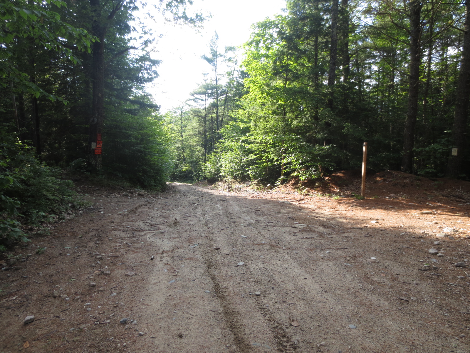
Heading north on King's Highway, shortly after a small pond on the left, the road bends to the right, and there is a gated dirt road on the left. This is Caverly Road, apparently. I parked here and headed out. Here's an atrocious picture of the starting point:

It's just a dirt road for awhile, but I'm glad I didn't try to drive up it, since there are huge rocks and loose sand. Follow it for probably a half mile, and you'll reach the trailhead.
Turn left here, this is the start of the "trail."
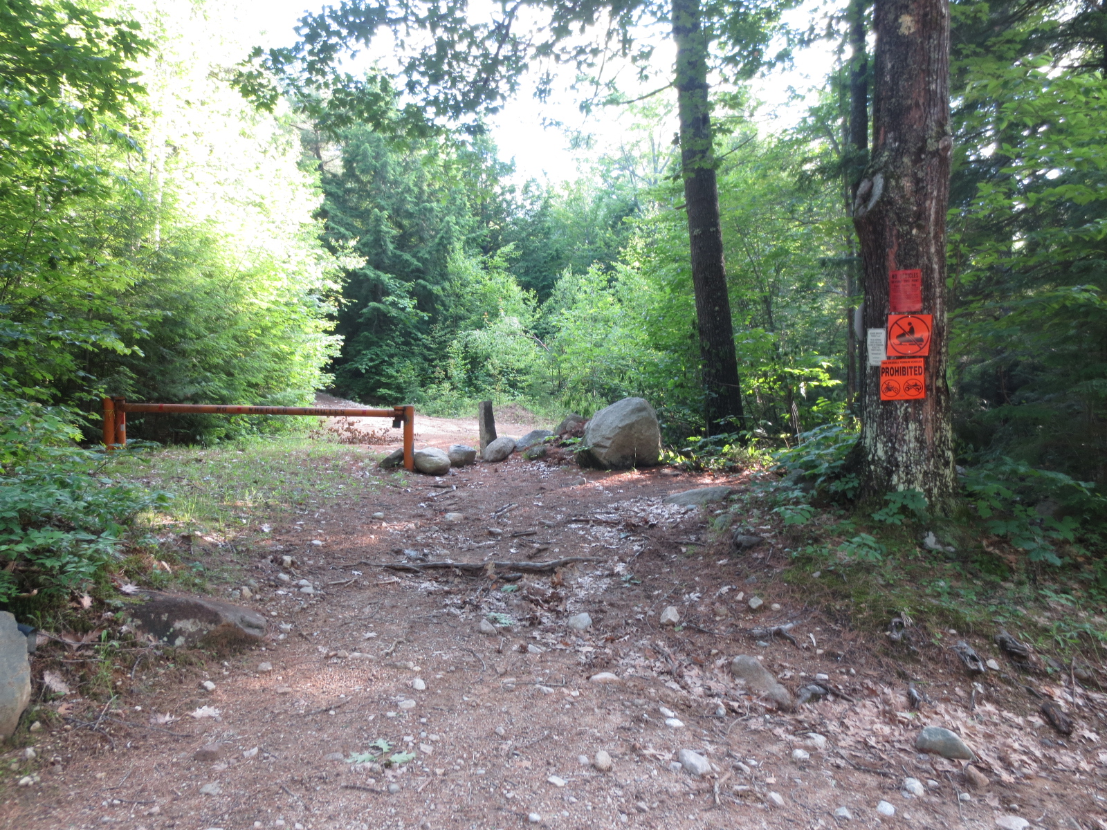
I put trail in quotes because this is basically just a dirt road up a mountain. I wasn't expecting much since this is a pretty unknown and small mountain, but I was hoping for more than this.

thanks for the arrow though!
It's very wide the whole way up, with increasingly bad footing:

And, since it had rained so much, a lot of that footing was quite wet:

Eventually, the trail got a bit flatter and opened up into some nice woods. It then got a LOT wetter:

But shortly after that, I was at the top.

I was immediately happy. This was exactly the hike I wanted- short and easy with not a lot of elevation gain, but still enough so that I felt like I was hiking a mountain. Due to the high humidity and temperatures (it was 90 if I remember right), I was pretty soaked by the time I got up there. I also had had almost zero bugs on my last few hikes, so I stopped bringing bug spray. Whoops! The entire hike up, I was battling 10 deer and horse flies who thankfully mostly didn't bite me, but still annoyed me to death by just flying all over me the entire hike. Always bring bug spray. Always.
The top of Caverly was pretty open rock with a lot of sporadic trees and sections of grass. It was very nice and I thought about how it would probably be a great place to camp. Someone had even set up a sweet fireplace and left a chair!

There was also this awesome rock that looked like a Graboid from Tremors or the worm monster from Star Wars:

But what ruled about the top was the view. This immediately gets thrown in the book of hikes with awesome views with minimal effort.

To the right was Winnipesaukee, but the sun was so brutal, it was hard to capture, even with HDR skillz:

I hung out for awhile and enjoyed the views, then headed down. On the way down, I thought about coming out here with a tent and basic survival stuff and food and just living in the woods for a month, and the logistics of all that. What would I do all day? What would I do when someone wandered over and found me, a haggard mountain man living in the woods on a tiny mountain in New Durham? I think about weird stuff while hiking.
I stopped on the way home to take pictures at that little pond. It was pretty gorgeous:

And I turned around and drove past this again just to get a picture. Apparently this has been like this for a long time. I love it, and I love that the town kept it.

Was this the Graboid from the top of the mountain?!?
I pulled over at Sunrise Lake too, since we all know that my hiking trips are really just photography trips/instagram fuel.

All in all, great little semi-local hike. Once I decided that where I was parked was in fact the right place, and found out that the trailhead really was the trailhead, it was only about a 3 mile round trip hike with somewhere between 700 and 968 feet of elevation gain. I say this because the sites I use have drastically different numbers- I'm guessing the higher elevation gain number takes into account the walk up Caverly road (which is pretty hilly) and the other only starts counting at the trailhead. So the higher number is probably the right one. Either way, this is a great small hike with a crappy trail but fantastic summit. Definitely a good warm-up or last-minute hike for a pro, and a great option for a n00b looking to get into hiking.
currently listening to: The Story So Far: "Under Soil And Dirt"
When I was little my family lived in tents for a good part of the summer on the south side of Caverly. The topo map shows Hardy pond in the valley between Caverly and Devil's Den - that's our camp. Enjoyed reading this, thanks!
ReplyDeletevery cool! I'll have to check it out
DeleteNice pictures , I have not been there for over 14 years , taking a drive up today to see if access is still available Bruce battersby
ReplyDeleteMy dad, Richard Hugh Caverly (deceased), and his brothers, Donnie and Eddie, talked with great fondness about New Hampshire. Hopefully, one of these days, I will be able to visit.
ReplyDelete