
In typical Mike mode, I had planned on hiking a 4,000 footer on the way to Lakerage- Mount Cabot specifically since it's super north and has a gate that closes at dusk. I figured it would be perfect to get up there early, slay a 4,000 footer, then arrive (for once) nice and early to Lakerage on Friday night. Well, maybe this year. As per usual, I didn't get my shit together, then really didn't want to get up at 7am the day before Lakerage. So I decided to hike a smaller mountain I was sure would have phenomenal views- Mount Willard.
Mount Willard is accessed from the same trailhead as Tom, Field and Avalon right in heart of Crawford Notch. It's a small hike right in the heart of tourist country with phenomenal views. Actually, if you haven't hiked it but have driven into Crawford Notch, the top of Willard is that cliff you see right in front of you as you start driving up the hill with the Webster Cliffs on your right. I always wondered if there was a trail going to that cliff. Well, this is it.
There's really only one sign you need to see, and it's right at the beginning.

The trail goes through a stream crossing and some turns, but eventually becomes a steady hill.

At one point, there's a small waterfall/cascades area that's nice.

I thought this was pretty odd- there are like 8 of these going through the trail:

That was the most broken through, but there were more of them in various levels of exposure. I have no idea what these could be from, but I'm too lazy to really look into it. Anyone reading this who knows- why are there giant pipes underground on a trail to a small mountain nowhere near ski trails??
I was in good hiking shape by now, but this trail is pretty easy the whole way. It's got some elevation gain in the beginning, but it eventually settles into a very tame slope, on a mostly straight trail with good footing.
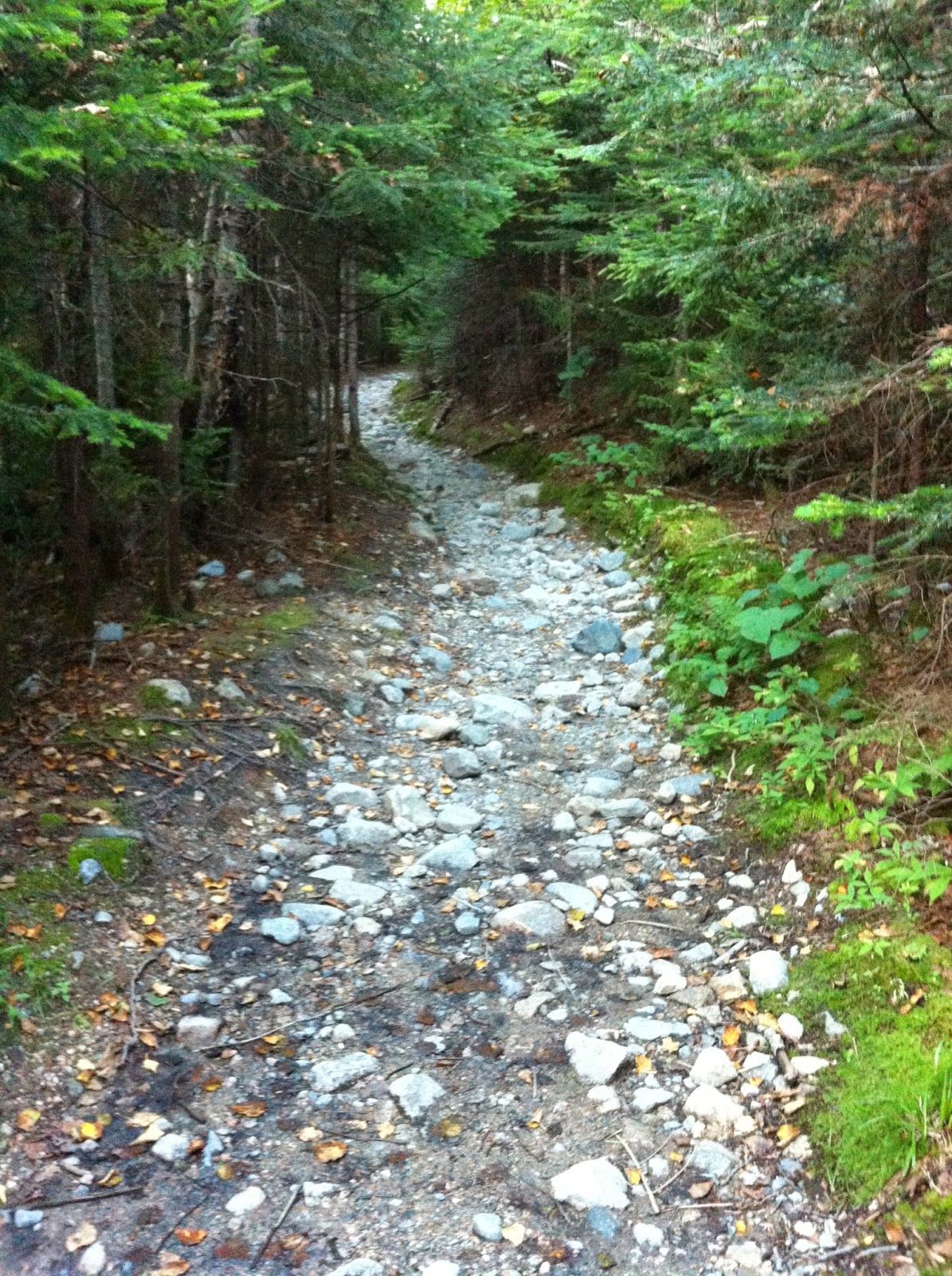
These are the kinds of trails I can get down with.

And soon enough, after 1.6 miles of reasonable hiking, I was at the top.

And the view absolutely ruled. Here's my panorama:

Looking down, it really was quite the cliff.

To the left was Webster, which, despite what this HDR would tell you, wasn't on fire.

In the middle was 302 and the train tracks for the train that takes you up Washington (at least I'm pretty sure):

To the right was Willey:

It was awesome to be up there and know that I had conquered all the nearby mountains. One day I'll have that feeling for most of the White Mountains (at least the 4,000 footers). That day is far away, but it will happen.
The trail can fool you- it looks like it keeps going, and it basically does, but it just takes you to more mini view points that are just slight variations of the same view. I tried to find if there was an actual summit of Willard, since it seemed like there was more elevation past this point, but I didn't really find it. And besides, this view was why I hiked here.

As per usual, I hung out too long on top, and didn't get to my car until it was almost pitch black dark. I then headed to a few gas stations to stock up on hot dogs and chips for the Lakerage weekend, and eventually got there, probably around 9 or so.
Mount Willard is long enough (3.2 miles) that it's not a completely beginner hike, but it's generally pretty easy (about 1,000 feet of elevation gain over 1.6 miles) and I'd recommend it to anyone. The area up top is small, so I'd suggest not going on a tourist weekend, but if you have a day off and get somewhere up north early, this is absolutely worth the trip. The views rule and the hike won't kill you. I'm 100% hiking this again this year, but in the fall this time. YEA FOLIAGE?!!
currently listening to: Weezer- B-sides
The train tracks are for the Conway Scenic Railroad, not the Cog.
ReplyDelete