
I've heard a lot about Mount Cardigan over the years- mostly that it's a very popular hike for its relative ease and completely exposed summit offering incredible views in all directions. I wasn't sure how great it would be, but knew I had to hike it. SO, with thunderstorms threatening, I set out a few weeks ago on the loooong journey there (about 2 hours- which only seems worth it of you're doing a 4,000 footer). Thankfully, the hike would prove more than worth it.
I took a right turn off route 4 onto Turnpike Road, then turning right on Wild Mountain Road, bore left at Gilford Hill Road, bore left at Burnt Hill Road, and eventually turned a hard right up a steep hill onto Cardigan Mountain Road. Right when I thought I was just riving up the mountain, I arrived at the parking lot to the West Ridge Trail trailhead.

It wasted no time climbing, but it was all pretty moderate and gently rolling.

Most of the trail looked exactly like this- well worn in with lots of rocks and roots to walk on:

About a half mile in, I came to this sign, telling me to continue left.

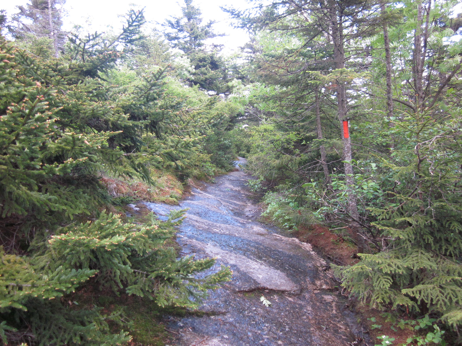
Shortly after that, I came to a split, and continued left. This trail had 4 or 5 more of these, but they all seemed to either go nowhere or connect back with the trail shortly after. It's pretty simple to follow- stay left and follow orange blazes.

It got a bit more interesting,

then I was met with another sign. I had no idea there were so many trails and places to go up here.

This was right before a scenic bridge that was very nice and well constructed.

A ways after that, I was met with this cairn, and the trail splitting again. I'm still surprised that there is no sign here- for a trail so well marked, to have it split into 2 separate trails, both marked orange, I would expect a sign saying which way went where.

I went right because it looked less travelled and more grown in and scenic.
As I walked along a trail that was pretty much sideways across the mountain, I wondered if I had made a mistake. I looked up to see the top of Cardigan, waaaay off in the distance. Crap.

It turned out to be ok- I had just taken a trail towards a cabin, as a sign said "Warden's Cabin-Clark Trail" shortly after that picture. I was apparently taking a sideways route to a cabin instead of the direct route.

creepy murder shack
From there, there was another sign with a lot of options:

I went up though, to the summit. And it was STEEP.

It's hard to really put that across with pictures, but going from a trail with moderate grades and lots to grip onto to a very steep walk up an open rock face with no grips (and now suddenly some serious wind) was a drastic change. For the second hike in a row, I was extremely happy I brought along a flannel shirt, since I was immediately freezing.

But, after a short chunk of serious effort, I was at the top, and it was fantastic.

I could literally see hundreds of miles in all directions.

Just like Kearsarge, which is a very similar mountain in terms of popularity, length, elevation gain, summits and views, there were words carved into the rock everywhere:

On the way down, I followed the way I would have gone if I had gone straight instead of right at that cairn. It was a much longer section of exposed rock, with cairns everywhere, but wasn't quite as steep as the way I went. My way was easy and then incredibly steep for a short section, this way was moderately steep for a longer section. My way kept me out of the wind a little longer though, and it was kind of neat going up the less-traveled side of the mountain.

As someone who loves hiking and hiking trails, I have to say- the cairns on this mountain were the best I've ever seen. I very much appreciate the effort it takes to make a good one of these, and this one in particular blew me away:

Here's me screaming at the top after staring at that section of trees forever, looking for bigfoots.

Here's a panorama of about a quarter of the view.

And now that you've seen what it actually looked like up there, here's what it looked like through my phone, HDRed and edited to maximize awesomeness:
Coming around the corner to view the top still far away:

The first cairn next to a puddle, starting on the walk back:

The fire tower with a cloudy sunset behind it:

can you find the hidden person?
Rocks and trees:

The fire tower from the opposite side of the mountain:

Turning left right as I entered the exposed rock section:

and lastly, me being emo (from the regular camera):

On the way down, I saw 2 teenagers (probably 16?) in mesh shorts and t-shirts, both with a Bud Light tall boy in their hands. They had no lights and no layers. "Are we half way yet?" they asked me. One said that he had hiked 15 minutes in and given up before, so they didn't know. I told them to watch out when they got to the top, that it was freezing up there. They said "sweet" and headed up into a quickly darkening mountain. About 5 minutes down the road, a pretty serious thunderstorm started up, and by the time I reached 93, it was absolutely pouring, and apparently hailing a few towns away. I could only imagine that those 2 kids died on top. I know I've been dumb with hikes before, but t-shirts and beer and starting a hike at 8pm as a thunderstorm rolls in? Come on.
As I ate the delicious calzone I bought at Ashland House of Pizza on the way back, I was treated to an absolutely beautiful view the whole time I was on 93- the entire horizon was just a wall of lightning for the entire drive. I saw HUGE bolts, lightning that spread across the whole sky, everything. It ruled.
I absolutely loved this hike and will absolutely do it again, hopefully in some sort of loop fashion. I was really interested in going down the back side and going over to the peak I was looking for Bigfoot on- it definitely looked pretty awesome over there with tons of evergreen trees sprouting out of patches of exposed rock.
It wasn't too steep except for once I hit exposed rock, and the views were absolutely worth it for any amount of struggle you may go through on these steep parts. It's a long drive to get to Orange, NH (there's an Orange, NH?), but I would recommend this hike to anyone- the views are extraordinary, as you are definitely at the high point of many many many miles all around you, and they rival some 4,000 footers, if only for the fact that so many 4,000 footers just look at each other, or have the same view but slightly to the east or west. This being in the middle of nowhere means it has very unique views. I was lucky to go on a cloudy day (which always makes for great pictures) and a weekday (which meant I only saw about 10 other people), but get up there, it's a great hike.

Hike time: 2.5 hours or so- I spent a long time at the top
Mileage: 3 miles
Elevation gain: 1,225 feet
Music listened to: States- Line 'Em Up, States- Room To Run, Say Anything- Anarchy, My Dear, Sunlight Ascending- You Don't Belong Here, PM Today- In Medias Res
currently listening to: The Lord of the Rings' Return of the King soundtrack
Nice! I like that hike too....it was outrageously windy last time I was up there....literally so windy that it was exhausting....cool place.....glad you got up there
ReplyDeleteps. M83 goes really well with your blog...been listening while reading....quite the experience.
ReplyDeletepps. lets do a hike in the dacks when you're here for phish
yea, it was great. and also insanely windy for me too. I could see how m83 would work, definitely. I'd be down for a hike, but I usually am quite dead after hikes, and I'll need energy to dance to phish all night
Deletered bull
ReplyDeletedo you know about the NH firetower quest patch?
ReplyDelete