
4 days after hiking Mount Potash, the weather was good enough and I decided I had good enough muscles by now to try and attempt a 4,000 footer. Having only done 4 with a goal of 48, I needed to get one under my considerable belt early in the year. I decided to try a smaller one, or at least one that looked like it had a good mileage to elevation gain ratio. Waumbek fell into that category, and I also felt like it was a good one to do since hopefully I'll be working soon and wanted to knock out one of the most northern ones. I thought it was the most northern, but nope, that's Cabot, which I plan to do at the end of August. I left too late (weird) and really had no clue it would be so far away (I tend to look at times on maps and instantly subtract 20 minutes, forgetting that not only are those times very accurate, but I also stop several times on the way up). I wanted to start by 1 at the latest, especially since I had been pulled over a few days earlier for my car that's registered in the wrong state having a headlight out, which I hadn't fixed yet.
I started at 2, meaning unless I somehow finished this hike in 4 hours, I'd definitely need to use my lights on the way home, making me an obvious target for jerk cops everywhere. So yea, I started out bad from the beginning.
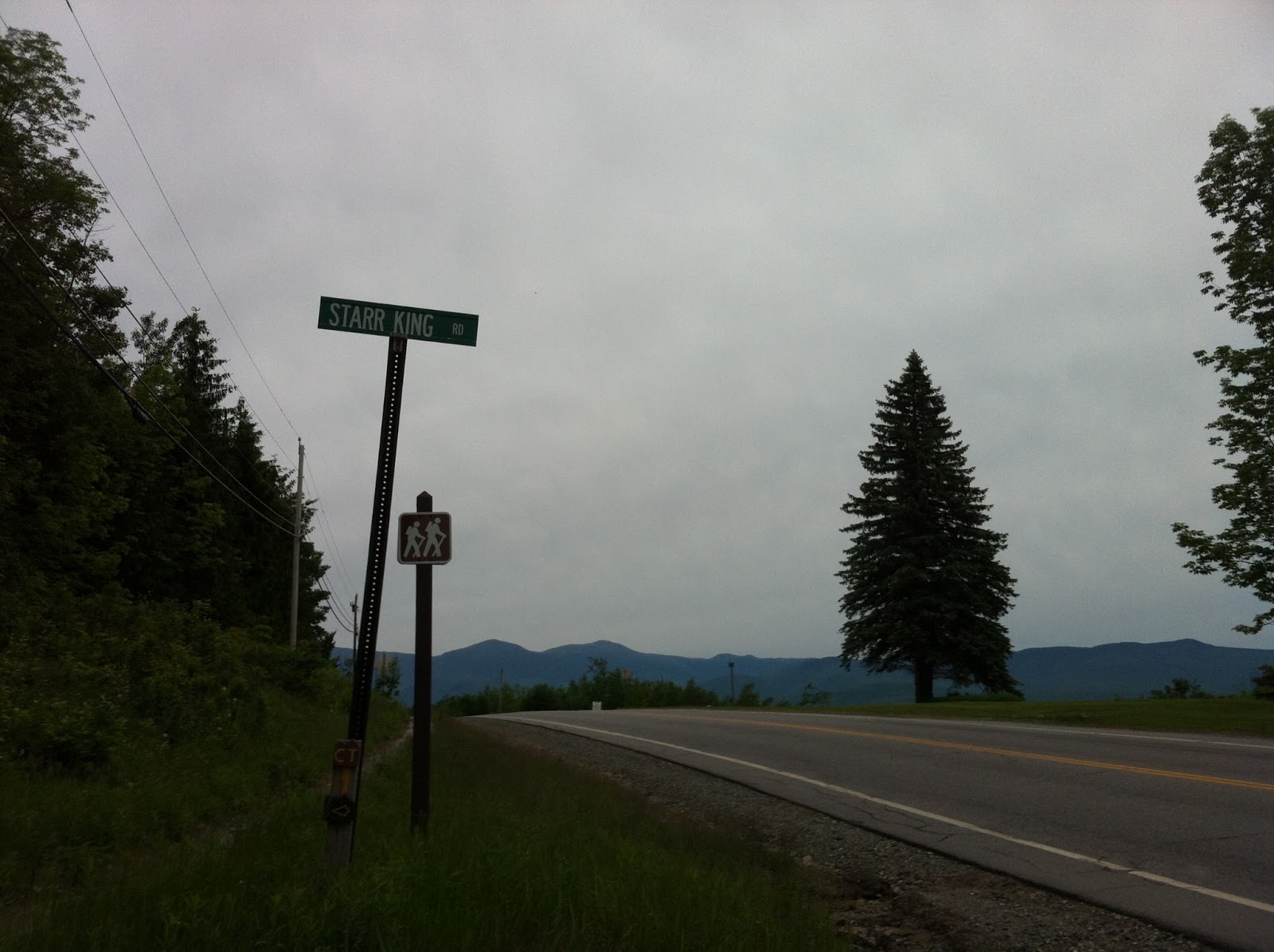
Here's the sign for the road, which is too dark and I took on the way out. The directions for Waumbek are quite simple- drive forever north up route 16, and turn left onto Route 2 West. You'll be driving north, kind of across the top of the White Mountains, looking at Washington and the presidentials the whole time. Turn right onto Starr King Road, and the trailhead is at the end. No fee either!
I talked to an older couple who had just come down. They didn't hike the whole thing, I think they just hiked to Mount Starr King, a mountain you have to hike over to get to Waumbek.

I got my stuff ready, stretched, sprayed bug spray all over me, and headed out. The guy was very nice, telling me I'd have no problem getting to Waumbek. Sure, buddy.
The trail starts off like a dirt fire road, just meandering through the woods at a very reasonable pitch. A little ways in, there's a huge well. Here, 4 guys in their low twenties came down the trail. I was blown away that them coming down meant they probably started hiking at 7 or 8 in the morning. Shouldn't they be just getting wasted all day?

The trail continues in very boring fashion for awhile, slowly gaining elevation. It was pretty muddy too, since it had rained for pretty much 3 days straight. Eventually, it started getting a little more pretty.

I had eaten what I had thought was a good breakfast for hiking- a liter of water on the way up, a banana and granola bar right when I got in the car, and a small coke and 2 chicken snack wraps from McDonalds (now I know you're laughing at that, but sugar and caffeine help me wake up and feel more energized, and I hadn't made a lunch so a chicken wrap seemed to make sense). I've done this before and felt great, with the addition of shot blocks before I start hiking and periodically during the hike.
Today was different. Maybe I didn't eat enough the night before, or eat enough carbs, I'm not sure. But I felt EXHAUSTED right away, just completely drained as soon as I had to start climbing. This wasn't good.
The trail started to level out a bit though. At one point, it starts to look a lot more like other hikes, and it starts veering to the left more. Rocks and roots made for short climbs, but generally, the trail was very reasonable and felt like it was slowly going around a mountain (looking at a map, I basically was).

I had to take way more rests than I wanted, because I just didn't have anything in me. It was at this point that I started to feel STARVING too. And this was where I learned that you really do need to eat a lot when you're trying to walk up a mountain. I've slowly gotten better at eating the right things, not eating too much that I get cramps, drinking tons of water, etc. But I have been blowing it on giving my body the amount of energy it needs. Today would be a learning experience.

Look how psyched I am!

sweet apple shirt mike
But eventually, after taking much longer than I wanted, I reached a brief section of almost rock climbing,

and I was at the top of Mount Starr King.

I had read reports that said there were decent views from Starr King but none from Waumbek, so I took a lot of awful pictures, holding my camera as high as I could and angling it from the top of the rock I was standing on. After a minute, I realized that where the trail was going to take me would offer much better views.

The sort-of view from Starr King:

This spot was pretty neat though, as it was completely clear cut, with exposed rock and a... chimney?

Apparently there used to be a shelter of some sort up here. There were remnants of fires too, from people who must have stayed here.
I only hung out here for a while though, and I was confused the entire time. Every trip report I had seen said to just follow the trail, and you'd get to the top of Waumbek. But in every direction I could see, I was at the highest point. I could see where the trail took me (it continues behind the chimney, to the right), and it looked lower than where I was.

But there was really nowhere else to go, so I just went with it. At this point, I was exhausted from battling Starr King and wanted to just be at the top of Waumbek so I could turn around. I started hiking extremely fast, the whole time weirded out that I was either walking downhill, or completely flat.
The woods ruled though. Very moosey/squatchy, and tons of old man's beard all over every tree. I really felt like I was in deep wilderness.

Eventually, the trail started climbing again, and I knew that I was on the right track. Apparently there are technically only 239 feet of elevation gain over the mile you hike from the top of Starr King to Waumbek, but you lose a lot right away hiking in between them, so it feels like a lot more. I was once again exhausted, soaked and panting, wanting to be at the top of my 5th 4,000 footer.

And then I was!

I don't know what my face is doing.
In hiking, there's nothing quite like that feeling where you know the top is in view, just a short ways away. I usually stop, regain my breath, and really try to enjoy the last pitch since I know the reward is up there. This was a pretty blah summit though, just a clearing with a cairn. But damn, it felt good.
In my few years of being into hiking, I've learned that most online guides that say "limited views" or "obstructed views" or "no views" aren't entirely accurate. Whether they were posted years ago before people cleared out space, or people are just only happy with unobstructed 360 views, I'm not sure. But I decided to see if there was anything here, and kept following the trail.

I was surprised to see this sign, since I assumed people only hiked this trail to cross Waumbek off their list and get the hell out of there. Apparently there's a LOT more hiking to do if you want it.

And right after that, there was a clearing where a bunch of trees had been knocked down, and A VIEW.

HDR makes everything better
I took too many pictures and hung out too long here, just psyched to actually have a view. It was weird how the presidentials (at least I think that's what I was looking at?) seemed so far away, and in turn, seemed so big. I felt like I wasn't really that high up at all. And that's a very odd feeling, since this was my 6th hike of the year and was absolutely the highest up I'd been.

ABMM: Always be mean-muggin.
I said goodbye to the summit (I don't see me hiking this one again), and headed out. I felt like I truly flew through this section. Maybe it's because I was trying to figure out why my headphones were suddenly only giving me sound out of one side.

I saw some sweet stuff like a root that looked like a hand,

and this stump which looked to me like a Swamp Thing-esque woods monster,

and once I switched ipods (yes, I hike so prepared that I bring a second ipod in case one breaks (and it wasn't my headphones, my main ipod's headphone jack is now broken and only gives you sound from one channel)), the rest of the way down was pretty uneventful. I settled into "go as far as you can without stopping" mode since I was trying to get down before it was dark, and just flew. I think I only stopped 3 times, one of which was at the top of Starr King again, where I ate the last of my food.
I got to the bottom in daylight (although it was 7), stretched as best as I could. switched my shoes, changed my shirt, took advil, and got out of there as fast as I could. I felt like my heart was still beating fast as I drove out.
I made it to Conway before I felt I had to turn on my lights, and miraculously, my headlight that was out decided to work again. So I had had a successful hike and my car performed miracles to keep me from getting pulled over. Good day!
I stretched a ton before I went to bed and took it easy the next few days. I never really felt that stiff or hurt, which means, somehow, with way less hiking than last year before my first big hike this year, and with no real weight or diet change, I was somehow in way better shape this year than previous ones. Maybe my body has finally learned that I'm gonna keep doing this to myself, and it's just finally gotten used to it. I don't know, but I'm happy about it. 5 down, 43 to go! haahha

____________________________________________________________
The short version: This is another of those 4,000 footers that most people will only hike if they're going for them all. It's waaaay up north, the trail is pretty unexciting, and there's not much for views, or at least the views aren't THAT great. But, the trail is mostly reasonable and forgiving in the elevation gain aspect of things. Other than the bottom section which can get pretty muddy, it generally has pretty good footing too. This is definitely the 4,000 footer I needed. It's still a lot of work, but out of the 48, it's one of the more easy ones- if you're not sure if you're in shape to try any of the others, this is a great starting point, or at least a great first-of-the-season hike.
-Directions: Take 16 north to Gorham, turn left to go West on Route 2. Starr King Road is several miles down there (on the right), and is almost directly across from a golf course. There is only one trail which is extremely easy to follow.
-Hike Time: About 5 hours.
-Mileage: 7.2 round trip (2.6 to Starr King, 1 to Waumbek, repeat)
-Elevation gain: 2,628 feet
-Summit elevation: 4,006 (Starr King is 3,907)
-Number of people seen on the hike: 6 in the first 20 minutes, then I had the mountain to myself
-Number of times I fell: 1
Music listened to: Koji- Crooked In My Mind, My Chemical Romance- Conventional Weapons, Lydia- Devil, Dorena- About Everything And More, The Wonder Years- The Greatest Generation, Killswitch Engage- Disarm The Descent
currently listening to: The Story So Far- Under Soil And Dirt
No comments:
Post a Comment